As of Wednesday, February 5, 2025, at 8:18 PM in Minneapolis, Minnesota, here’s an expanded weather forecast for the Twin Cities and the rest of Minnesota through Monday, February 10, with detailed information for each day:
Thursday, February 6:
- Twin Cities: Breezy with intervals of clouds and sunshine. High: 22°F (-6°C), Low: 5°F (-15°C).
- Northern Minnesota: Some snow in the morning with little or no accumulation; cloudy and windy; storm total snowfall 1-2 cm. High: 20°F (-7°C), Low: -1°F (-18°C).
- Southern Minnesota: Partly sunny and breezy. High: 30°F (-1°C), Low: 8°F (-13°C).
Friday, February 7:
- Twin Cities: Times of clouds and sun. High: 19°F (-7°C), Low: 16°F (-9°C).
- Northern Minnesota: Cold with a blend of sun and clouds. High: 18°F (-8°C), Low: 4°F (-15°C).
- Southern Minnesota: Intervals of clouds and sunshine. High: 24°F (-4°C), Low: 17°F (-8°C).
Saturday, February 8:
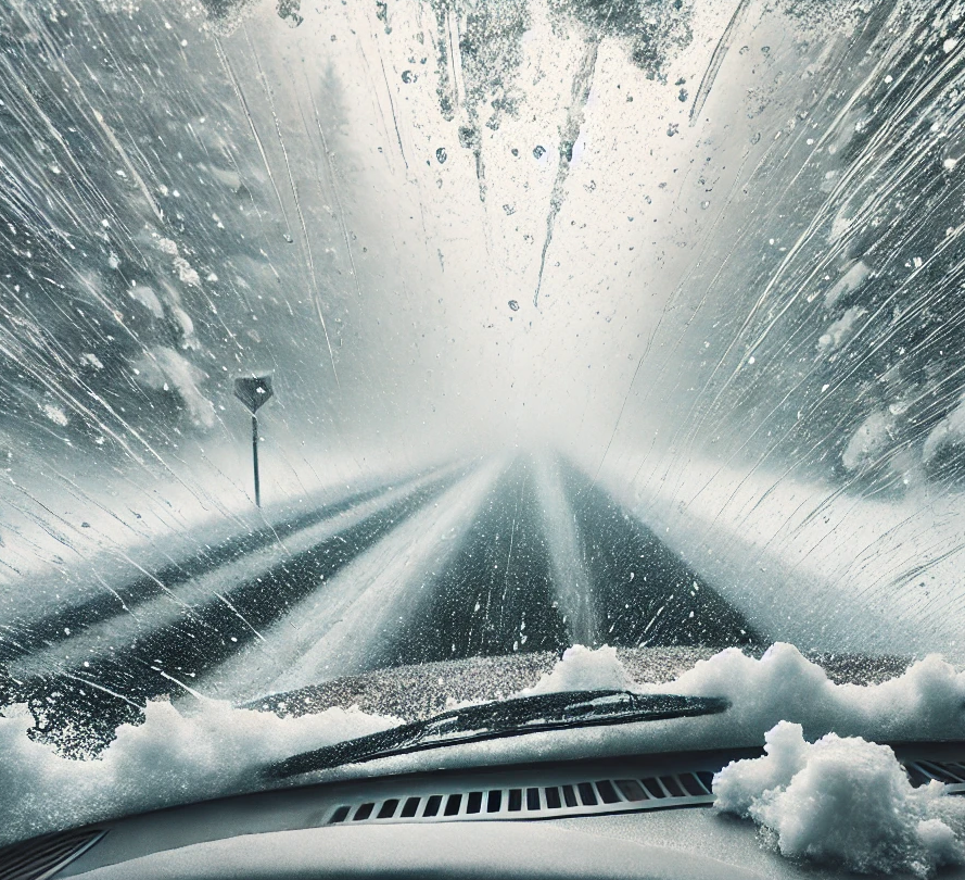
- Twin Cities: Snow, accumulating an additional 5-10 cm; streets and sidewalks will be slippery. High: 20°F (-7°C), Low: -4°F (-20°C).
- Northern Minnesota: Cold with periods of snow, accumulating 2-4 cm; untreated surfaces will be slippery. High: 20°F (-7°C), Low: -7°F (-22°C).
- Southern Minnesota: Snow, accumulating an additional 5-10 cm; streets and sidewalks will be snow-packed and slippery. High: 22°F (-5°C), Low: 1°F (-17°C).
Sunday, February 9:
- Twin Cities: Partly sunny. High: 16°F (-9°C), Low: 1°F (-17°C).
- Northern Minnesota: Partly to mostly sunny and cold. High: 16°F (-9°C), Low: 2°F (-17°C).
- Southern Minnesota: Mostly cloudy and cold. High: 16°F (-9°C), Low: 6°F (-15°C).
Monday, February 10:
- Twin Cities: Increasing cloudiness and cold. High: 9°F (-13°C), Low: -4°F (-20°C).
- Northern Minnesota: Plenty of sun, but frigid. High: 15°F (-10°C), Low: -7°F (-22°C).
- Southern Minnesota: Sunshine, but cold. High: 13°F (-10°C), Low: -3°F (-19°C).
Upcoming Snowstorms:
The most notable snowstorm is expected on Saturday, February 8, with significant accumulations across central and southern Minnesota, including the Twin Cities. Residents should prepare for potential travel disruptions and monitor local weather updates for the latest information.