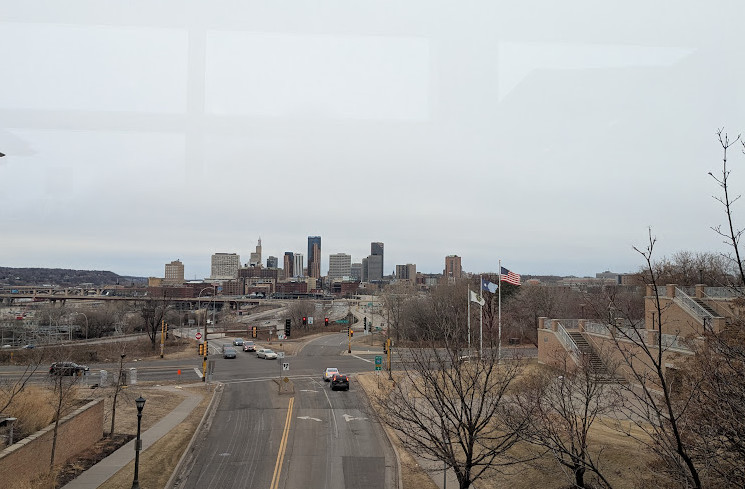
The National Weather Service (NWS) has issued a First Alert Weather Forecast for the Twin Cities and surrounding areas as a winter storm is expected to bring significant snowfall and strong winds midweek. The system is set to arrive late Tuesday evening and continue through Wednesday afternoon, potentially impacting commutes and travel conditions.
Storm Timeline and Snowfall Predictions
According to the latest forecast from the National Oceanic and Atmospheric Administration (NOAA) (noaa.gov), precipitation is expected to begin as rain on Tuesday due to above-freezing temperatures. However, as temperatures drop overnight, the rain will transition into heavy snow, accompanied by gusty winds reaching up to 40 mph.
Meteorologists predict snowfall totals ranging from 4 to 8 inches across the Twin Cities metro area, with higher accumulations possible in northern and western Minnesota. The heaviest snow is expected between 3:00 AM and 11:00 AM on Wednesday, making the morning commute particularly hazardous.
Twin Cities Weather Travel and Safety Concerns
The Minnesota Department of Transportation (MnDOT) is preparing for the storm by deploying plows and treating major roadways in advance. Despite these efforts, officials warn that blowing snow and reduced visibility may cause difficult travel conditions.
Residents are advised to take the following precautions:
- Check road conditions before heading out by visiting 511mn.org.
- Allow extra travel time and consider delaying non-essential trips.
- Keep an emergency kit in your vehicle, including blankets, food, and a flashlight.
- Avoid unnecessary travel during the peak of the storm, especially on untreated roads.
Wind and Cold Temperatures to Follow
Beyond the snowfall, strong winds will create areas of blowing and drifting snow, particularly in open areas and rural roads. Wind gusts between 30 and 40 mph could lead to near-whiteout conditions, making travel extremely dangerous.
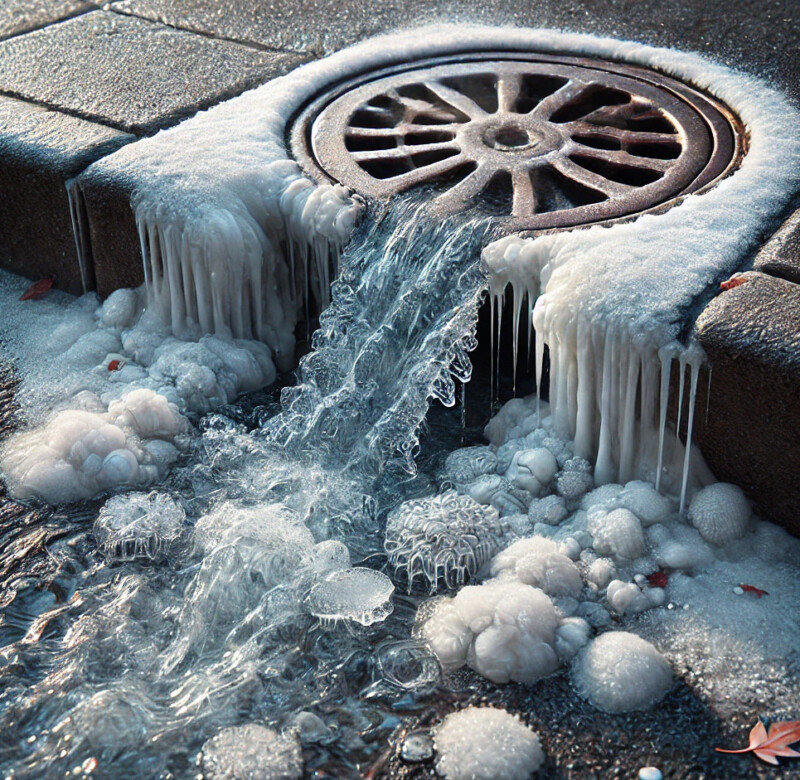
Once the snow moves out of the area by late Wednesday, temperatures will plummet, with overnight lows dipping into the single digits and wind chills potentially falling below zero. Those venturing outside should dress in layers and protect exposed skin from frostbite.
School and Business Closures Possible
Local school districts and businesses are monitoring the forecast and may announce closures or delays. Parents and employees are encouraged to check local news stations and district websites for updates. Employers are also urged to consider work-from-home options where possible to minimize risks during the storm.
Twin Cities Weather Looking Ahead: When Will We See Relief?
According to NOAA’s Extended Winter Forecast (noaa.gov), cold temperatures are expected to linger through the end of the week, but conditions should improve by the weekend, with sunshine and slightly warmer temperatures in the forecast. However, another system may develop next week, bringing additional precipitation.
Stay Updated
Residents are encouraged to stay informed by checking real-time weather updates from NOAA’s National Weather Service Twin Cities office (weather.gov/twincities).
For live updates, alerts, and emergency notifications, follow local meteorologists on social media and tune in to trusted news sources.
More Twin Cities Weather news can be found here: https://mnreport.com/category/weather/